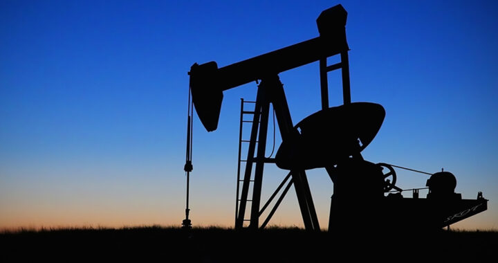
Exploration is a critical upstream activity in the oil and gas industry. Exploring deposits of oil and gas or resources and reserves remains an important and ongoing global pursuit due to the increasing energy demands of developed and developing countries. It is important to note that exploration can only commence once costs and benefits have been assessed and once the proper type of oil and gas agreement or contract has been determined.
There are three general classifications or types of methods and strategies used in oil and gas exploration. These are surface methods, gravity and magnetic surveys, and seismographic methods. Take note that the shared purpose of these exploration methods is to determine the presence and the quantity of oil or gas under a particular land area or a specified area within the seabed. Each has its respective merits and drawbacks.
Three Main Types of Oil and Gas Exploration Methods
1. Surface Methods
Oil and gas exploration using surface methods is based on either one of the two principles. The first is to survey the geological features of the surface to determine sedimentary rock formations and repeated folds and faults or salt domes in subsurface rock formation. It is worth mentioning that the rocks that contain oil and gas are all sedimentary.
The second is to determine hydrocarbon seepage on the surface of the Earth. Oil seeps in low areas as tar-like deposits that can be easily observed visually and confirmed using lab analysis. Large deposits of oil underground do not leak, however. Gas is not visible but its concentration in the air or seawater can be detected using special instruments.
2. Gravity and Magnetic Surveys
Small differences in gravitational force can be picked by an instrument known as a gravimeter and can serve further as a basis for assessing the presence of oil or gas deposits under a surface. Remember that gravitational force is slightly greater on surfaces close to dense rock formation and it is slightly weaker on surfaces with slat domes underneath.
Furthermore, using instruments called magnetometers that can also be attached to an aircraft or sea vessel, the properties of rock and rock formation or anomalies can be assessed and mapped based on response to magnetic field measurements and electrical resistivity. Explorers reference models to determine the likelihood of oil or gas deposits.
3. Seismographic Methods
Both surface methods and gravity or magnetic surveys can map out large geologic anomalies such as faults and folds, salt domes, and anticlines. There is a limitation to this. The main problem with these oil and gas exploration methods is that they cannot produce detailed images of and provide adequate data on smaller and inconspicuous areas.
The workaround for the aforementioned is through seismography. Seismographic methods use sound waves to produce detailed images of underground rock formations. These methods can be invasive and destructive because they involve drilling shallow holes in the surface to place microphones or listening devices to reflect and transmit sound signals.
Pointers on the Different Oil and Gas Exploration Methods
The aforementioned methods and strategies do not guarantee the presence of oil or gas deposits. Results from using either one or more of these methods merely indicate the presence or absence of favorable underground formations or geographic features and characteristics that are conducive to the accumulation of hydrocarbons. It is also important to underscore the difference between resources and reserves to better classify the economic viability of the suspected or proven oil or gas deposits in a particular and prospected area.
